Click image to enlarge in same window.

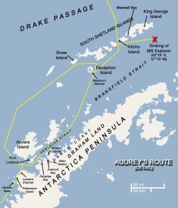
Updated (v6). Click image to enlarge in same window.

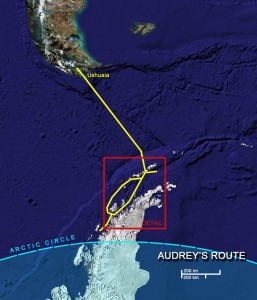
Updated (v3). Click image to enlarge in the same window.

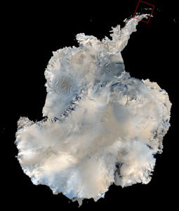
Enhanced satellite imagery of the entire continent. Source: USGS TerraWeb.
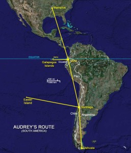
Editor’s note: I’ve put together the route maps, from Google and various mapping sources, showing places she’s mentioned in her blog. The yellow route line in the detail map is my best guess of her ship’s path and is subject to revision.
