
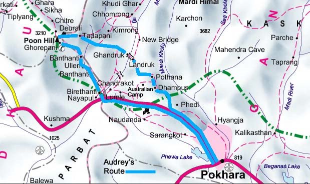
This map detail (see below click here for full map) shows Audrey’s route for the next few days through the Annapurna region. Follow the blue line counter-clockwise. She writes:
We walk to Landrung the second night, then Chhomrong the third, then pass through rhododendron forests to Ghorepani for the fourth night, then down through the 3280 steps (really steps) to Tikhedhungga for the fifth night before hiking downhill to Nayapul where car picks us up to return to Pokhara before setting off for Chitwan.
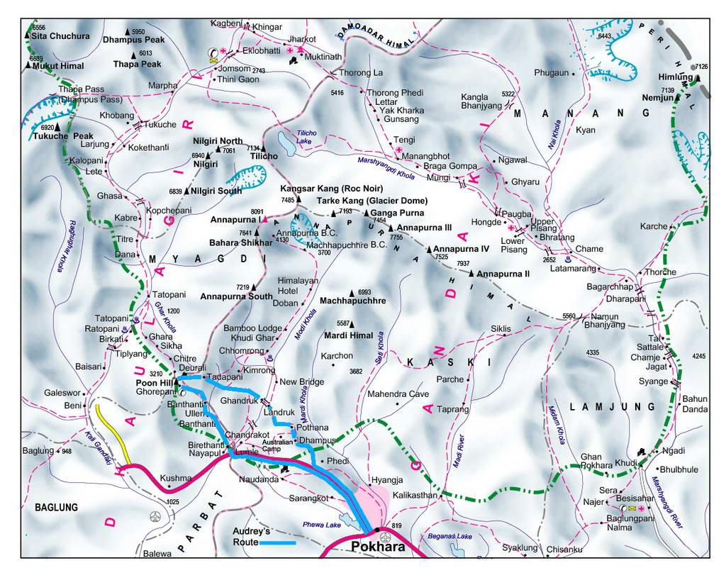
Full map of the Annapurna mountain range region. Map source: Shangri-La Designs via DigitalHimalaya.com